The more I look the more I see evidence that recent erosion is strongest (ie leaving the tallest erosion scarp) in areas where the dunes are heavily covered by marram grass. Compared with areas where only runners of coastal spinifex, appear to leave a partially covered and “less well protected” dune front. These two photos where taken from the same location and the difference is very clear.


The photo on the right is looking slightly north to an area of heavy marram grass on the dune, and two recent erosion events. Further the beach infront of this is still showing its steeper curves winter shape. Compare this with the photo on the right, just taken straight-on here only a few runners of the coastal spinifex have regrown in front of previous erosion, but the slope is already flatter and the beach infront of this point has already started to develop its summer shape. This is often termed the summer berm. The beach above the high water mark has started to dry out and the curve of the upper becah is being flattened by wind erosion, leaving the characteristic wind blown ripple marks, with extra seaweed & other heavier debris to collect sand with wind gutters around the base and often a wind shadow of dry sand. It is the development of this summer berm that provides the best home for beach nesting birds, a rest place for animals and migrating bird (like penguins, terns and seals).
For a long time I have assumed that the taller erosions scarps are associated with deeper gutters out in the sand bars, and I still see that there will be a distinct gutter or channel in the vicinity of fresh erosion but the relationship with marram grass on the foredunes does seem to be becoming more compelling.
So the big question is -
Does marram grass encourage deeper erosion of the dunes?
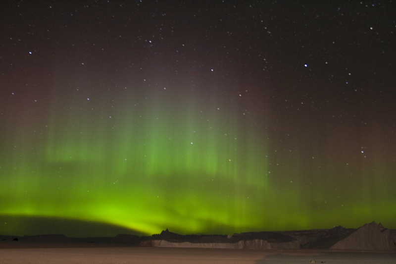
 Just got an alert of extreme activity from aurora australia right now, and hopefully through tonight. So It may actually be visible from Venus Bay, low in the southern sky.